When you click on links to various merchants on this site and make a purchase, this can result in this site earning a commission. Affiliate programs and affiliations include, but are not limited to, the eBay Partner Network.
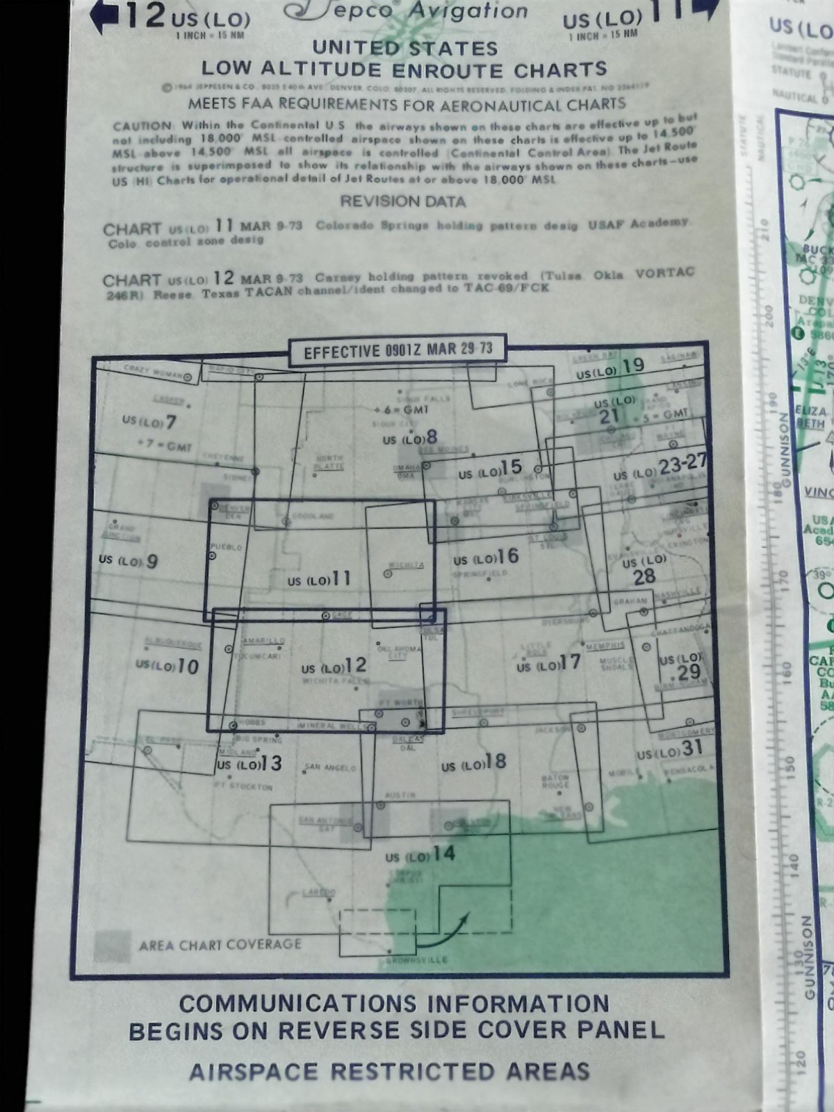
Up for sale is a genuine vintage 1973 Jeppesen Avigation United States Low Altitude Enroute Chart.This double-sided, folding aeronautical chart covers sections US (LO) 11 and US (LO) 12, featuring extensive details for mid-century navigation, communications frequencies, airways, and airspace restrictions across the central United States.Condition Details:
- Overall Condition: Very good vintage condition with minor age-appropriate wear.
- Paper Quality: Structurally sound, folds cleanly along original lines with crisp print text and map lines.
- Flaws: Light edge wear and typical folding creases from historical use, but completely free of major stains, heavy tattering, or large structural tears.
Excellent piece for vintage aviation collections, framing, or flight simulator pilots looking for historical accuracy!Shipping & Handling:
Ships safely wrapped and protected from moisture to ensure it arrives in the condition pictured. Please review all high-resolution photos for complete details. Contact me if you have any questions!