When you click on links to various merchants on this site and make a purchase, this can result in this site earning a commission. Affiliate programs and affiliations include, but are not limited to, the eBay Partner Network.
Brand/Publisher: National Geographic Society.
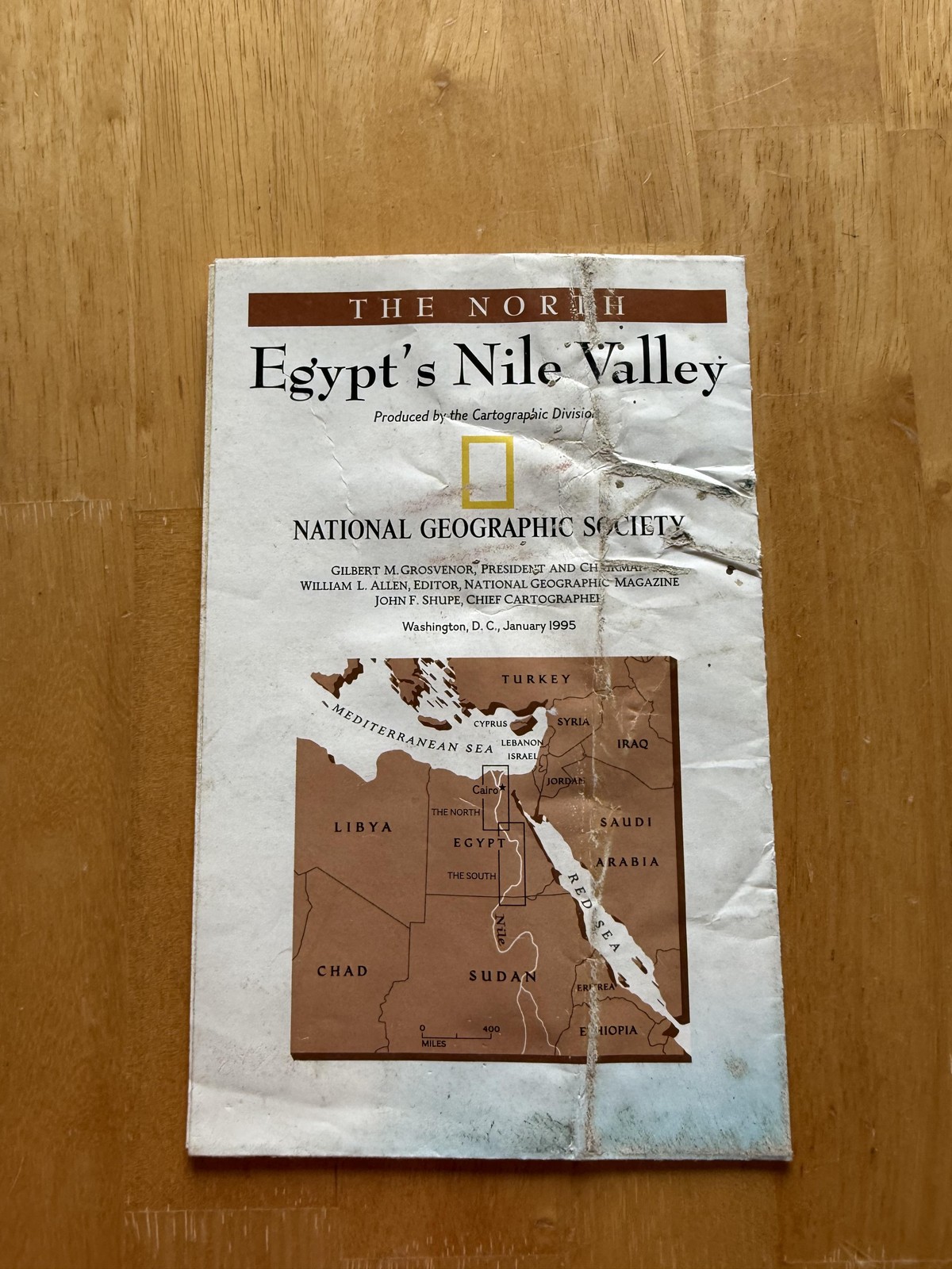
Item: Vintage double-sided historical and archaeological map supplement titled "Egypt's Nile Valley," presenting companion treatments of the northern and southern reaches of the river in one fold-out sheet.
Date/Edition: January 1995 National Geographic Magazine map supplement produced by the Cartographic Division, with copyright 1994 National Geographic Society and printing noted as November 1994.
Country of origin: United States.
Format: Large multi-panel fold-out sheet printed in full color on both sides, with cover credit lines naming Gilbert M. Grosvenor, President and Chairman; William L. Allen, Editor, National Geographic Magazine; and John F. Shupe, Chief Cartographer, Washington, D.C.
North side: Header band reads "The North Egypt's Nile Valley" above a shaded-relief map following the Nile from the Mediterranean Sea and the Delta southward past Cairo, with the cultivated floodplain and irrigation works shown in green against tan desert plateaus, and labeled cities, towns, archaeological sites, canals, lakes, and modern transportation routes.
North-side content: Inset artwork and text blocks highlight Giza and its pyramids and Sphinx, the plateau of Saqqara and ancient Memphis, and the early capital at Cairo, alongside narrative panels explaining Old Kingdom funerary landscapes; a vertical "Chronology" column summarizes major periods of Egyptian history from Early Dynastic through Old, Middle, and New Kingdoms, the Late Period, and Greco-Roman rule.
South side: Reverse is headed "The South Egypt's Nile Valley" and continues the river southward through Upper Egypt, mapping the narrow fertile corridor between cliffs and desert, with detailed labeling of temples, villages, quarries, wadis, cataracts, and modern reservoirs including Lake Nasser, supported by a printed map legend and scale bar.
South-side content: Additional illustrations and inset maps focus on Thebes and the Valley of the Kings, Dandara, the great temple complex at Karnak, the Aswan Reach and High Dam, and Abu Simbel, providing perspective views of temple architecture, site plans, and diagrams explaining the relocation of the Abu Simbel monuments above the rising waters of Lake Nasser.
Details: Educational wall or reference map designed to accompany National Geographic coverage of ancient Egypt and the modern Nile, combining relief cartography, archaeological site diagrams, historical essays, quotations, and annotated artwork to show how geography, religion, engineering, and dynastic power shaped settlement along the river from the Delta to Nubia.
Keywords: National Geographic Egypt map, Nile River valley wall map, 1995 magazine map supplement, Giza pyramids Cairo Memphis Thebes Karnak Aswan Abu Simbel chart, ancient Egypt chronology poster, double-sided fold-out cartographic sheet, USA printed ephemera.