When you click on links to various merchants on this site and make a purchase, this can result in this site earning a commission. Affiliate programs and affiliations include, but are not limited to, the eBay Partner Network.
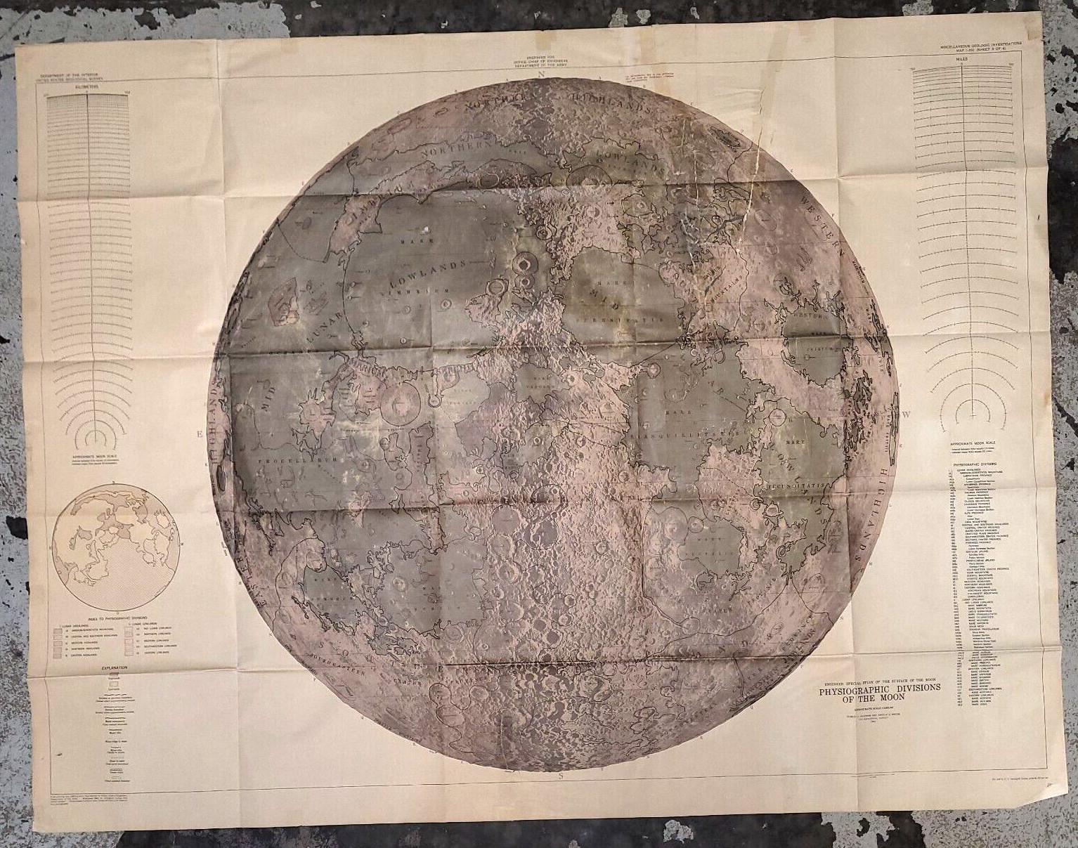
U.S.G.S. Physiographic Divisions of the Moon Map by Robert J. Hackman and Arnold C. Mason, Wall Map, 1961. Measuring about 40 by 52 inches, this large folded map displays the near side of the Moon at a scale of 1:3,800,000 with contours and labels showing distinct terrain units. It retains its original folds and has minor edge wear.
The map was part of the Engineer Special Study of the Surface of the Moon and served as a landmark in lunar cartography. Compiled in 1960 using photographs from Lick Observatory, the 1961 edition identifies craters, maria, mountains and physiographic provinces. The work laid the foundation for future planetary mapping and photogeology and was used for reference by lunar of space memorabilia and cartographic history will value this map's scientific significance and visual appeal. Its detailed depiction of lunar geography makes it an impressive display piece and a fascinating educational resource.
This item will be carefully packaged with protective materials and shipped promptly in a sturdy mailer or box, so it arrives ready to enjoy.